
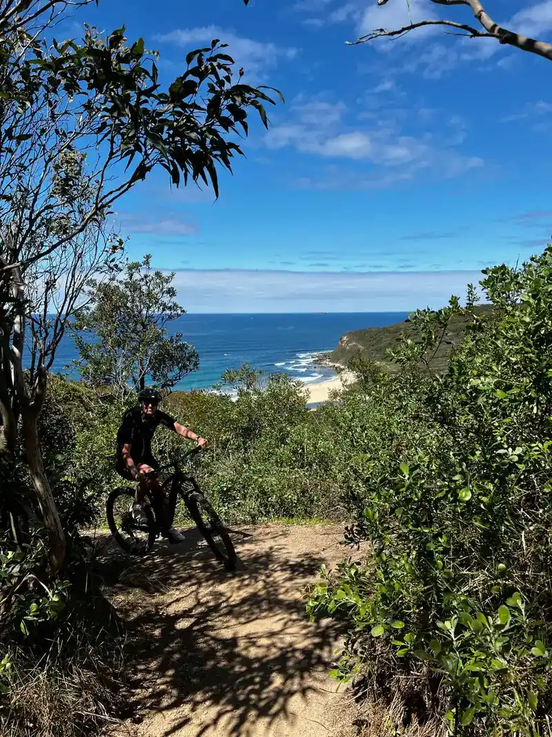
Gawler Greenway railside trail
About this ride
The Gawler Greenway is a developing railside cycling route following Adelaide’s operational Gawler railway line north from the CBD. The main completed section currently runs around 14km from the Adelaide Parklands to Dry Creek, combining sealed shared paths with a handful of quiet-road and on-road connections. It passes through inner-city neighbourhoods, former railway areas, industrial precincts and wetlands, while connecting riders with other major routes including the Dry Creek Trail, Port River Bikeway and Tapa Martinthi Yala. The long-term vision is a continuous 45km greenway from Adelaide to Gawler, with several additional sections further north already completed but not yet fully connected. RTS Tip: Don’t expect a continuous Adelaide-to-Gawler rail trail just yet. The main Greenway currently finishes at Salisbury Highway near Dry Creek, although you can use connecting paths to continue north via Tapa Martinthi Yala and the Stuart O’Grady Bikeway, or pick up separate railside sections around Mawson Lakes and Parafield. Having a map handy is worthwhile, as a few sections around the Islington railyards use less-obvious on-road connections.
Local businesses nearby
Places to eat, stay, hire and service around Gawler Greenway railside trail.
Run a business near this ride? Get listed — riders are actively looking.
Near Gawler Greenway railside trail
Rides and clubs within 100 km of Gawler Greenway railside trail.
Finding what's close by…
Facilities
Sign in to addOn-site facilities plus rider-verified additions. Confirm what's really there or add something new for other riders.
Loading facilities…