
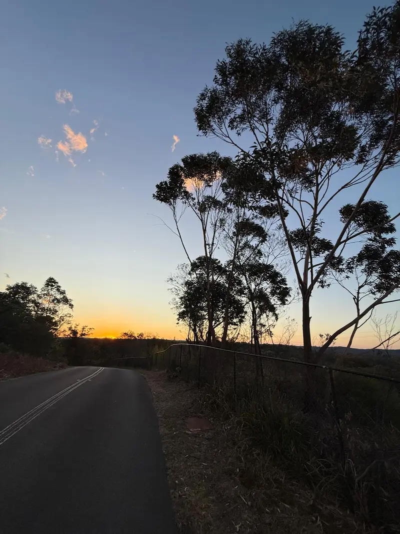
Mount Gambier Rail Trail
About this ride
The Mount Gambier Rail Trail is a high-quality sealed cycling and shared-use trail running through the heart of Mount Gambier on South Australia’s Limestone Coast. The network covers approximately 10.5 km, following sections of the city’s former railway corridors from the eastern side of Mount Gambier through the CBD and historic Railway Lands before branching north towards Wandilo Road at Suttontown and west along the former Millicent railway towards Compton. Its smooth asphalt surface, gentle railway gradients and central location make it suitable for road bikes, gravel bikes, hybrids, e-bikes, families and recreational cyclists. One of the highlights is riding directly through the Mount Gambier Railway Lands, where the former railway station and yards have been transformed into landscaped parklands while retaining pieces of the city’s railway history. Riders can see the restored station buildings, old signal box, railway turntable and remains of the former locomotive depot, with toilets, picnic facilities, shops and cafés all close to the trail. The central location makes the rail trail a particularly easy way to explore Mount Gambier by bike. The trail also provides convenient cycling connections to some of Mount Gambier’s best-known attractions. From the eastern end, riders can follow a sealed path for approximately 1.2 km to Umpherston Sinkhole, while other connections lead towards Blue Lake / Warwar, Cave Garden, Engelbrecht Cave, the Crater Lakes precinct and local BMX and pump tracks. This makes the Mount Gambier Rail Trail a great backbone for a longer sightseeing ride around the city rather than simply an out-and-back cycle. The railway corridor has an extensive history. The railway reached Mount Gambier in 1887, eventually connecting the city with Wolseley, Millicent and Beachport, while a separate connection to Heywood in Victoria opened in 1917. Passenger services to Adelaide ended in 1990 and the line officially closed in 1995, with sections of the former corridor subsequently transformed into the cycling and recreation trail used today. RTS Tip: Use the Rail Trail as your cycling highway through Mount Gambier rather than treating it as a standalone ride. Add the short connection to Umpherston Sinkhole, explore the Railway Lands and then link towards the Crater Lakes and Blue Lake / Warwar for a much bigger Mount Gambier cycling adventure. The trail itself is flat and approachable, but there are numerous road crossings — particularly around the CBD and Princes Highway — so slow down and take extra care at intersections.
Local businesses nearby
Places to eat, stay, hire and service around Mount Gambier Rail Trail.
Run a business near this ride? Get listed — riders are actively looking.
Near Mount Gambier Rail Trail
Rides and clubs within 100 km of Mount Gambier Rail Trail.
Finding what's close by…
Facilities
Sign in to addOn-site facilities plus rider-verified additions. Confirm what's really there or add something new for other riders.
Loading facilities…