
North Mount Lyell Rail Trail
About this ride
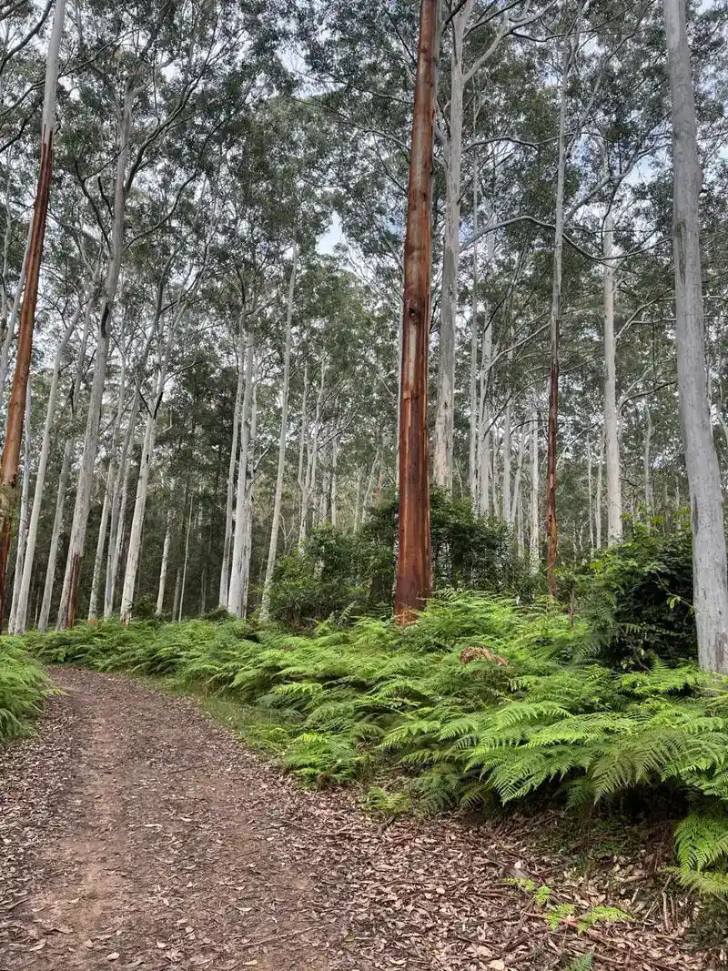
The North Mount Lyell Rail Trail, south of Queenstown on Tasmania’s West Coast, follows part of the historic North Mount Lyell Railway through remote rainforest towards Kelly Basin and the abandoned port settlement of East Pillinger on Macquarie Harbour. The historic route is around 12 km, travelling through the extraordinary wilderness of the Tasmanian Wilderness World Heritage Area on an old railway formation surrounded by dense temperate rainforest. For cyclists, it’s important to understand that only the first section is currently rideable. From the Bird River turnoff, approximately 5 km of the old railway formation to Bird River is accessible to bicycles and 4WD vehicles. From Bird River onwards to Kelly Basin and East Pillinger, the route is walking-only, so riders cannot cycle the full historic 12 km trail. The rideable section uses compacted earth and follows relatively gentle railway gradients, but its remote West Coast location gives it much more of an adventure feel than a typical recreational rail trail. The original North Mount Lyell Railway was built to connect the North Mount Lyell mine with the company’s industrial operations and port at Pillinger in Kelly Basin. Passenger services began in 1900, with stops including Gormanston Junction, King River and Ten Mile, but the railway had a relatively short life and finally closed in 1929. Parts of the original alignment between Linda and Darwin were later submerged beneath Lake Burbury. East Pillinger itself is one of the fascinating remnants of Tasmania’s mining era. Established by the North Mount Lyell Copper Company in the late 1800s, the settlement once contained wharves, a sawmill, brickworks, ore-processing facilities, railway infrastructure and workers' accommodation. Today, walkers reaching the site can explore surviving brick kilns, boilers, railway relics, a jetty and building ruins slowly being reclaimed by the rainforest. RTS Tip: Don’t plan this as a 12 km bike ride to Pillinger — bikes are only permitted for approximately 5 km from the Bird River turnoff to Bird River, with the remainder designated for walking. This is remote West Coast Tasmania, so carry food, water, repair gear, warm and waterproof clothing and offline navigation. If you want to continue to Kelly Basin and East Pillinger, secure your bike appropriately at Bird River and allow around 3–4 hours for the return walk, plus extra time to explore the historic ruins.
Local businesses nearby
Places to eat, stay, hire and service around North Mount Lyell Rail Trail.
Run a business near this ride? Get listed — riders are actively looking.
Near North Mount Lyell Rail Trail
Rides and clubs within 100 km of North Mount Lyell Rail Trail.
Finding what's close by…
Facilities
Sign in to addOn-site facilities plus rider-verified additions. Confirm what's really there or add something new for other riders.
Loading facilities…