
Smithfield Magazine Rail Trail
About this ride
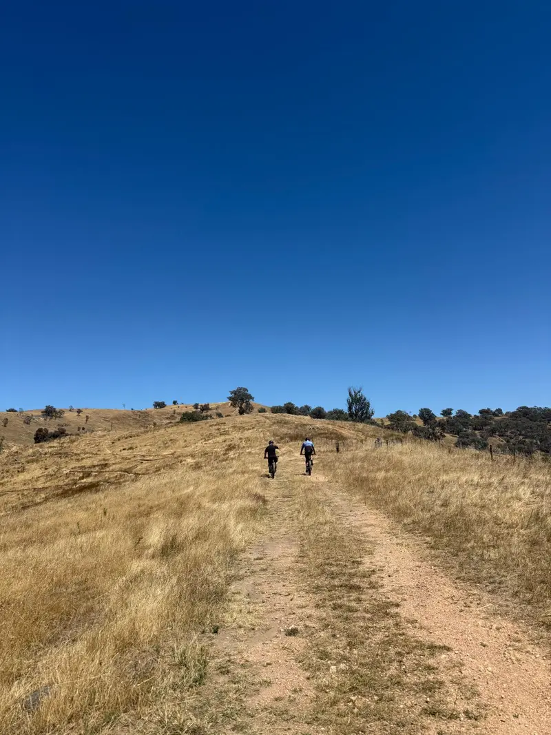
The Smithfield Magazine Rail Trail, around 33 km north of Adelaide, is a short 3.5 km cycling and walking trail connecting Smithfield Interchange with the former Smithfield explosives magazine near Andrews Road. The route follows the alignment of the historic railway branch that once served the magazine, combining sealed shared path, quiet streets, a short on-road section and some unsealed trail near Smithfield Station. Its mostly flat terrain makes it suitable for families, recreational cyclists, hybrids, gravel bikes and mountain bikes. Starting at Smithfield Interchange, riders head south beside the Gawler railway corridor before reaching the wetlands of Playford Waters Park. From here the route heads west via Arcadia Drive and Davoren Road towards Stebonheath Park, which has toilets, picnic facilities, barbecues and a playground. The final section continues towards Magazine Place and Andrews Road, where two surviving magazine buildings can still be seen from outside the former site. The history behind this little trail is fascinating. The Smithfield Magazine was established during World War II in 1941 as a storage facility for munitions produced at the nearby Salisbury Explosives and Filling Factory. Around 95 widely separated buildings were constructed across the enormous site, many surrounded by earth mounds and blast-protection structures. A broad-gauge branch connected the complex with the main Gawler railway line, while an extensive narrow-gauge tramway moved explosives and materials between buildings within the magazine. The main railway connection was removed around 1967. Although short on its own, the trail is particularly useful because of its connections to Adelaide’s northern cycling network. From Andrews Road, riders can reach the Stuart O’Grady Bikeway in around 1.5 km, opening up riding towards Gawler or Adelaide. The Smith Creek Trail branches off near Stebonheath Park, while a roughly 4.3 km connecting route provides access towards the Penfield Railside Trail. RTS Tip: At only 3.5 km one way, Smithfield Magazine works best as part of a bigger ride. Combine it with the Smith Creek Trail, Penfield Railside Trail or Stuart O’Grady Bikeway to add plenty more kilometres. Near Smithfield Station the original rail alignment becomes gravel and then unformed, but you can avoid this section using Graeber Road and Iberia Drive for a fully formed alternative. Take extra care around Davoren Road and Peachey Road, particularly around school times when traffic can be considerably busier.
Local businesses nearby
Places to eat, stay, hire and service around Smithfield Magazine Rail Trail.
Run a business near this ride? Get listed — riders are actively looking.
Near Smithfield Magazine Rail Trail
Rides and clubs within 100 km of Smithfield Magazine Rail Trail.
Finding what's close by…
Facilities
Sign in to addOn-site facilities plus rider-verified additions. Confirm what's really there or add something new for other riders.
Loading facilities…