
Stockade Rail Trail
About this ride
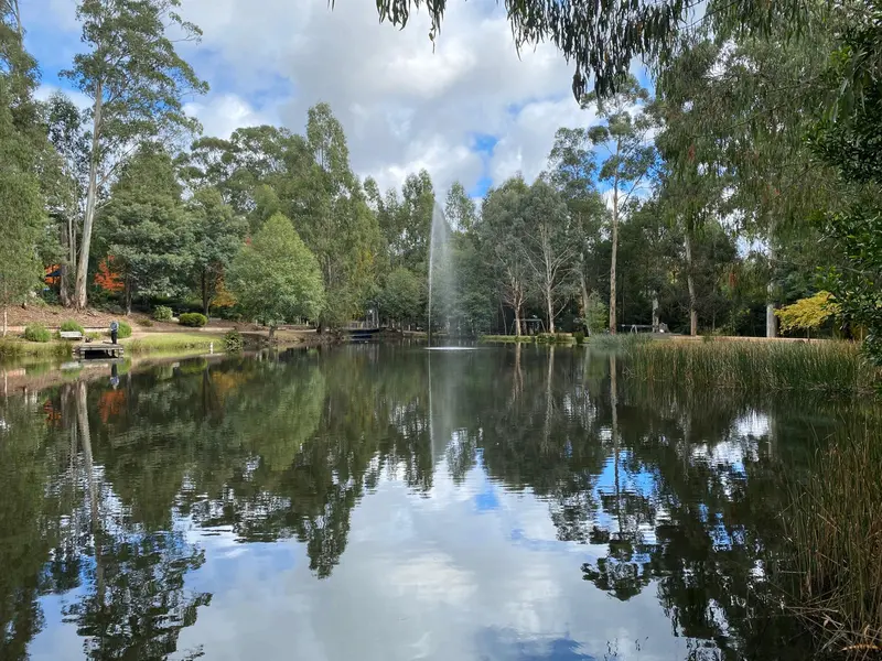
The Stockade Rail Trail, around 11 km north of Adelaide’s CBD, is a short 2.6 km cycling and walking trail between Pooraka and Walkley Heights/Northfield. Following part of the former Stockade railway reserve, the route passes through Unity Park, wetlands, mature eucalypts and the Dry Creek corridor before reaching the historic Stockade area near Yatala. The trail is mostly wide gravel with gentle gradients, making it suitable for mountain bikes, gravel bikes, hybrids, families and beginner riders. Starting on the eastern side of Main North Road at Pooraka, the trail follows the clearly visible former railway corridor beneath rows of tall gums. It passes the Winds of Change sculptures before entering Unity Park, where riders can explore additional paths around the wetlands. The former Northfield Station site is particularly easy to spot today — it’s now occupied by the Cross Keys BMX track and Pooraka Skate Park. Beyond Northfield, the route becomes a little more adventurous. The original railway reserve is interrupted near Briens Road, requiring riders to briefly use the adjoining Dry Creek Trail before returning to the old railway formation. This section has looser gravel and a steep descent and climb, so it requires more care than the otherwise easy rail trail. The trail has an interesting history dating back to 1857, making its railway one of the oldest in South Australia. The Stockade branch originally carried stone from quarries associated with Yatala Labour Prison, before later carrying passengers. Stockade Station was eventually relocated and renamed Northfield, with passenger trains continuing until 1987 and freight movements serving the Gepps Cross livestock facilities until 1995. Despite its short length, Stockade is useful as part of a much bigger Adelaide ride. It connects directly with the Dry Creek Trail, which runs more than 20 km between the Tapa Martinthi Trail and Wynn Vale Dam, while the nearby Levels–City Bikeway provides an approximately 18 km connection towards central Adelaide. RTS Tip: At only 2.6 km, Stockade is best combined with the Dry Creek Trail and Levels–City Bikeway rather than ridden on its own. For families, the Pooraka–Unity Park section is the easiest option, with wetlands, toilets and picnic facilities nearby. Take extra care around the Briens Road detour, where the surface becomes loose and considerably steeper, and don’t expect extensive rail-trail signage — downloading the route before you ride will make navigation much easier.
Local businesses nearby
Places to eat, stay, hire and service around Stockade Rail Trail.
Run a business near this ride? Get listed — riders are actively looking.
Near Stockade Rail Trail
Rides and clubs within 100 km of Stockade Rail Trail.
Finding what's close by…
Facilities
Sign in to addOn-site facilities plus rider-verified additions. Confirm what's really there or add something new for other riders.
Loading facilities…