
Wingello Forest Trails
About this ride
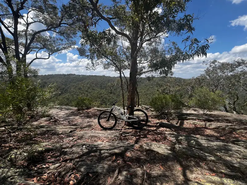
Wingello Forest Trails are an established mountain bike network in Wingello State Forest in the NSW Southern Highlands, around halfway between Moss Vale and Goulburn. The forest combines pine plantation and native bushland with purpose-built singletrack, fire roads and forest tracks, making it a great destination for cross-country and trail riding. The traditional Wingello network is built around three marked routes. The Blue Trail is around 7km, following formed roads and fire trails through the pine plantation. The Yellow Trail is around 18km, extending through both pine plantation and native forest. The Red Trail was around 22km, mixing fire roads with more challenging sections of singletrack. There’s also a substantial collection of dedicated singletrack, with trails including Princesses Revenge, Genesis, Everglades, Flinging Scotsman, Cover Shot and Tangles. The riding ranges from approachable flowing trail through to more technical XC terrain, with plenty of opportunities to link individual sections into longer loops. The network has undergone significant redevelopment in recent years. Highlands Trails works closely with Forestry Corporation NSW to manage and care for the Wingello trails, with the first stage of the renewed Wingello Forest Trails officially opening in 2023 and further development planned over time. The Wingello State Forest campground makes this an especially good option for a riding weekend. Camping and trail access are free, with toilets, picnic facilities, parking and a children's nature playground available within the forest. For riders searching for Wingello MTB, Southern Highlands mountain bike trails, Wingello State Forest cycling or cross-country MTB south of Sydney, this is a long-established riding destination with plenty of scope to build anything from a short family ride to a much bigger XC adventure. RTS Tip: Use current trail mapping rather than relying solely on the traditional Blue, Yellow and Red loops. Current Trailforks information indicates that the original Red Loop has changed, with part of the former route permanently closed, while newer singletrack provides alternative riding. As this is a working State Forest, trails can also be affected by forestry operations, so check current access before heading out.
Local businesses nearby
Places to eat, stay, hire and service around Wingello Forest Trails.
Run a business near this ride? Get listed — riders are actively looking.
Near Wingello Forest Trails
Rides and clubs within 100 km of Wingello Forest Trails.
Finding what's close by…
Facilities
Sign in to addOn-site facilities plus rider-verified additions. Confirm what's really there or add something new for other riders.
Loading facilities…