Blue Mountains mountain bike trails

Trails and rides across the Blue Mountains west of Sydney — Katoomba, Glenbrook, Blackheath, Lithgow and Oberon — with difficulty, distance and links to nearby clubs and businesses.

40 rides listed

Regions covered

All blue mountains mountain bike trails

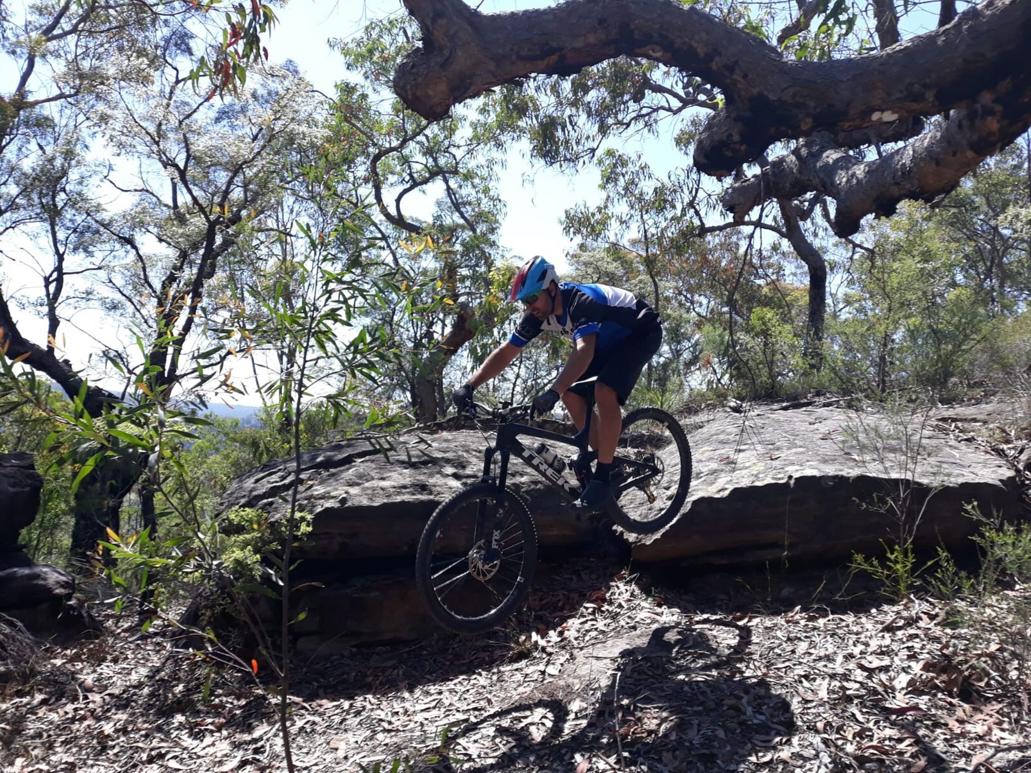
Knapsack MTB Trails – Glenbrook Knapsack Reserve is one of the Lower Blue Mountains’ key sanctioned mountain bike areas, sitting at Glenbrook/Lapstone on the eastern escarpment. The reserve combines purpose-built MTB singletrack and a dedicated downhill trail (Stringline Knapsack DH) with historic fire trails and old railway infrastructure, all within easy reach of Western Sydney. Ride Blue Mountains describes Knapsack as having the longest sanctioned MTB trail and the only sanctioned downhill trail in the Blue Mountains. The riding has a distinctly old-school Blue Mountains character. Expect sandstone, rocks, roots, tight natural singletrack, technical sections and plenty of elevation change as trails work their way down the escarpment. The downhill trail provides the more gravity-focused option, while the surrounding trails allow riders to put together shorter XC and trail-style sessions. One of the great things about Knapsack is the setting. The reserve contains remnants of the historic Lapstone Zig Zag railway, including cuttings and the spectacular sandstone Knapsack Viaduct, built in 1867 as part of the original railway crossing of the Blue Mountains. This gives the area a mix of MTB, bushland and railway history that’s pretty unique. Knapsack is also brilliantly positioned for a bigger day on the bike. Nearby Glenbrook provides access to the famous Woodford–Oaks Trail, including its purpose-built technical singletrack section, while Bennetts Ridge and other authorised riding in the Glenbrook area provide plenty of opportunities to extend the adventure. The main reserve access is from Barnet Street, Glenbrook, and the location is relatively easy to reach from Glenbrook and Lapstone stations. For riders searching for Knapsack MTB, Glenbrook mountain bike trails, Blue Mountains MTB, downhill mountain biking near Sydney or mountain biking in the Lower Blue Mountains, Knapsack is an important local network to have on the ride list. RTS Tip: Knapsack is one where current mapping is worth having with you. Ride Blue Mountains notes that signage can be poor and the return route from the downhill trail isn’t particularly obvious until you know the network. There are also many unsanctioned trails elsewhere in the Blue Mountains, so stick to the recognised Knapsack trails rather than assuming every piece of visible singletrack is legitimate.

Verified by 4 ridersRecommended by 2 riders
12 km260 mMTB, XC

Andersons Trail is a classic Blue Mountains mountain bike adventure, running through the remote bushland of Blue Mountains National Park between Wentworth Falls and Woodford. The 28km one-way route is rated hard and is best suited to experienced, fit and well-prepared riders, with ultra-steep sections, loose gravel, creek crossings and some seriously tough climbing. Best tackled west to east, the ride drops from Kings Tableland through open eucalypt forest before crossing Bedford Creek and beginning the long climb towards Woodford. Riders looking for an even bigger day can continue onto the Woodford–Oaks Trail, adding another 25km to the adventure. RTS Tip: Don’t underestimate this one. Andersons takes you into a remote section of the Blue Mountains with limited facilities and some demanding climbs, so carry plenty of water, food, a repair kit and navigation. Check NSW National Parks alerts before setting off, particularly after heavy rain, and consider using the train stations at Wentworth Falls and Woodford to help organise a point-to-point ride.

32 km650 mGravel

Attack of the Buns is a cracking multi-day bikepacking adventure through the Southern Tablelands and Southern Highlands of NSW, travelling approximately 323km from Bungendore to Bundanoon over three to four days. With around 63% of the route unpaved and approximately 4,692m of climbing, it combines quiet gravel backroads, remote fire trails and short sealed sections into a seriously rewarding long-weekend adventure. Despite the slightly intimidating name, this isn't an overly technical route. Much of the riding is along wide gravel roads and car-free fire trails, with some rougher 4WD sections and one particularly steep climb where a little hike-a-bike may be required. The real challenge comes from the distance, climbing and stretches of remote riding rather than technical trail difficulty. The scenery changes constantly along the way, taking riders through dry eucalypt forest, sandy woodland and lush rainforest while crossing several national parks and conservation areas. Highlights include the wild landscapes around Budawang National Park, Red Ground Track, Tianjara Falls, quiet gravel roads towards Kangaroo Valley, Griffins Firetrail and the spectacular waterfalls and escarpment views around Fitzroy Falls. Wildlife spotting is part of the experience too, with wombats, kangaroos, wallabies and lyrebirds all possible along the journey. There are plenty of opportunities for camping along the route, ranging from established campgrounds to remote clearings, making it possible to tackle the ride at different speeds. Riders should plan supplies carefully, however, as there is an extended stretch of around 160km between Braidwood and Nowra without resupply points. Natural water can be found along the route, but filtration or treatment is recommended. The route starts near Canberra at Bungendore and finishes at Bundanoon, roughly halfway between Canberra and Sydney. Public transport options at either end make this a particularly interesting point-to-point bikepacking option, or riders can keep the adventure going towards Sydney and the Blue Mountains. RTS Tip: This is a remote multi-day adventure, so good preparation and navigation are essential. River crossings and trail conditions can change considerably following rain, and riders should check current weather, park alerts, closures and fire conditions before setting off. Use the mapping and detailed route information linked below when planning your trip.

323.3 km4692 mGravel

The Coathanger Loop is a popular mountain bike circuit in the lower Blue Mountains, combining some of Glenbrook's best-known fire trails and singletrack into one varied ride through Blue Mountains National Park. Linking sections of Bennetts Ridge, The Oaks, Ironbarks and surrounding trails, the loop delivers a great mix of rolling ridgelines, fast fire trail, bushland scenery and more technical singletrack. One of the best things about the Coathanger is how easily it can be extended or adapted depending on how much riding you want to do. Add-ons can include the Portal Loop & Lookout for views across the Nepean River, a run out to Nepean Lookout, exploring The Oaks Fire Trail and Oaks Singletrack, or incorporating a visit to Red Hands Cave for a completely different Blue Mountains experience. Expect plenty of climbing and descending, loose and rocky surfaces and some more technical sections depending on which trails you include. It's best suited to intermediate mountain bikers, although experienced riders can easily add distance and difficulty by linking additional trails throughout the Glenbrook network. Starting from the Glenbrook entrance to Blue Mountains National Park gives riders access to parking and facilities and makes it easy to build anything from a shorter local loop to a substantial half-day adventure. National park vehicle entry fees apply if driving into the park. With so many options branching from the main route, the Coathanger is less about following one exact lap and more about linking together some of Glenbrook's best riding into your own adventure. Add the Portal, Nepean Lookout, Red Hands Cave or extra Oaks kilometres and you can make the ride as short—or as epic—as you like.

15.6 km416 mGravel, MTB

Blue Mountains BMX Club has been introducing riders to the excitement of BMX racing since 1981, providing a welcoming, family-friendly environment where everyone from toddlers to adults can get involved. Located in Lawson in the heart of the Blue Mountains, the club caters for riders from Mini Wheelers (2–4 years) through to competitive riders aged 50+, making it a fantastic destination for riders of all ages and skill levels. The purpose-built BMX track offers a fun mix of rollers, berms, rhythm sections and jumps that help riders develop confidence, bike handling skills and race technique. Regular club race days are held every second Saturday afternoon, creating a friendly atmosphere where new riders are always welcome, while gate practice sessions during the week give licensed riders the chance to sharpen their starts and improve their skills. If you're new to BMX, the club makes it easy to get started. Loan bikes and safety gear are available for many new riders, and AusCycling's free four-week trial membership allows you to experience BMX racing before committing to a full membership. It's a great way for the whole family to discover one of cycling's most exciting disciplines. More than just a race track, Blue Mountains BMX Club is built around community. Volunteers, families and riders work together to create a supportive environment where friendships are formed, skills are developed and riders can progress from their very first gate start through to state and national competition. Whether you're looking to introduce the kids to cycling, improve your race skills or simply become part of a welcoming BMX community, Blue Mountains BMX Club is a fantastic place to ride, race and have fun in the beautiful Blue Mountains.

BMX

The Burramoko Ridge (Hanging Rock) Trail near Blackheath is a scenic 10km return mountain bike ride through Blue Mountains National Park, following a broad fire trail along Burramoko Ridge towards the edge of the spectacular Grose Wilderness. Rated medium by NSW National Parks, the trail winds through heathland and open forest before reaching a turning circle near Baltzer Lookout (Hanging Rock). From here, leave the bike behind and walk the short final track to the lookout for huge views across the Grose Valley and surrounding sandstone cliffs. Allow around two hours for the ride, plus plenty of time to take in the view. RTS Tip: Ride from the locked gate at the end of Ridgewell Road, or add a few extra kilometres by starting from Blackheath and make use of the train station. Bikes need to be left at the turning circle before the final walk to Hanging Rock, and the lookout is completely unfenced with significant cliff drops, so stay well back from the edge. This is also a remote area, so carry water, basic bike spares and navigation and check current National Parks alerts before heading out.

10 km173 mMTB

The Cliff Drive Scenic Loop is a picturesque mountain road ride linking the historic mountain villages of Leura and Katoomba. Following the escarpment for much of the route, this ride visits many of the Blue Mountains most iconic lookouts, offering sweeping views across the Jamison Valley, sandstone cliffs and world heritage wilderness. Start: Leura Station Distance: Approximately 18-22km return Grade: Easy to Moderate Bike Type: Road bike, gravel bike, hybrid or mountain bike Route: - Leura Station - Leura Mall - Cliff Drive - Leura Cascades - Echo Point and the Three Sisters - Katoomba Falls - Scenic World - Hilda's Lookout - Cahill's Lookout - Narrow Neck Lookout - Return via Katoomba Street and local roads back to Leura Highlights: This ride showcases some of the Blue Mountains most famous scenery. Ride through Leura Cascades before continuing along Cliff Drive, where numerous lookouts offer uninterrupted views across the Jamison Valley. Visit Echo Point and the Three Sisters, take in the dramatic cliffs surrounding Katoomba Falls, and enjoy panoramic vistas from Cahill's Lookout and Narrow Neck Lookout. The route offers countless opportunities to stop for photos, coffee, or a short walk to explore the escarpment. Gravel and MTB Option For riders seeking a longer adventure, continue from Cliff Drive onto Narrow Neck Road and follow the Narrow Neck Fire Trail (See Ride card for Narrow Neck). This spectacular ridge-top trail extends deep into the national park with breathtaking views on both sides of the escarpment. Ride as far as your fitness and time allow before returning the same way to rejoin the Cliff Drive loop. Narrow Neck is widely regarded as one of the premier gravel and mountain bike rides in the upper Blue Mountains, combining accessible riding with some of the region's most impressive scenery.

22 kmRoad

The Conder Enduro combines the fast-flowing Gospers Ridge Fire Trail descent with one of the most challenging enduro trails in the Blue Mountains region. Delivering approximately 550 metres of elevation loss over 9 kilometres, this ride starts in Mountain Lagoon, climbing via Sams Way to reach Gospers Ridge Fire Trail before dropping into the legendary Conder descent. While some riders choose to self-shuttle from the finish at Upper Colo Fire Station back to Mountain Lagoon, this route is presented as a loop ride. Upon reaching the fire station, turn right and follow the road towards Comleroy Road. From here, it's a long and winding climb to Mountain Lagoon Road, followed by the final ascent back to Mountain Lagoon. The descent begins on Gospers Ridge Fire Trail, a fast and flowing trail featuring high-speed corners, numerous water bars and only a handful of short climbing sections. Eventually, the route narrows into the 4.4km singletrack, beginning as a heavily overgrown bush trail before opening onto a steep, rocky ridgeline descent. The singletrack is highly technical, with loose rock, exposed sandstone, tight turns and challenging line choices throughout. The trail is not maintained and can be overgrown in sections, with fallen trees occasionally blocking the route. Riders should be prepared for changing trail conditions and carry the equipment required for a self-supported ride in a remote area. There are no facilities and this is an extremely remote ride

23 km700 mMTB

Cox’s Road is a historical pass up and down the mountain, it is a very popular tourist route for hikers that’s sanctioned for mountain biking. The trail drops around 250 m over less than 3 km, making it a fast, rocky and technical ride that demands solid bike handling skills. Several lookouts along Mount York Road add extra interest and make it a great hit out on a trail or enduro bike. This is a shared trail frequently used by walkers, so stay alert, slow down when approaching others, and always give way. If you’re approaching from Mount Victoria, there are short sections of singletrack running along the left side of Mount York Road that offer an alternative line before reaching the main descent. At the bottom of Cox’s Road, you can no longer follow the sealed road through to Berghoffers Pass. Instead, turn right toward Lawsons Long Alley to continue the loop and hike‑a‑bike your way back up to Mount Victoria. The paddocks at the end of Cox's road can become very wet and muddy so best to avoid after heavy rain. For more detail on linking these historic routes, see the linked Lockyers / Lawsons Long Alley Loop ride card. Facilities: Toilets are available at Mount York.

3 kmMTB

Faulconbridge Point is a classic lower Blue Mountains mountain bike ride, following the Faulconbridge Ridge fire trail for around 6.5km each way to a spectacular lookout above the Grose Valley. Starting from the locked gate at the end of Grose Road, the trail undulates along the ridgeline through eucalypt bushland, with mostly smooth and sandy fire trail, some longer climbs and plenty of fast, rolling sections. At roughly 13km return, it’s a great option for beginner and intermediate riders looking for a scenic adventure without the technical singletrack found elsewhere in the mountains. The payoff at the end is huge, with sweeping views across the Grose Wilderness, Grose River and towards Bilpin and Mount Tomah. RTS Tip: Pack a snack and allow time to enjoy the lookout — it’s definitely the highlight of the ride. The trail is an out-and-back, so remember those fun rolling descents on the way out become climbs on the return. The lookout itself is an exposed, unfenced cliff-top area, so leave the bike somewhere safe and take extra care near the edge. Check current NSW National Parks alerts before heading out, particularly after heavy rain, storms or during periods of high fire danger.

13 km230 mMTB/Gravel

Hassans Walls Reserve rises above Lithgow on the western edge of the Blue Mountains, offering mountain bikers a mix of natural trails, fire roads and technical riding surrounded by spectacular sandstone country. The reserve covers more than 780 hectares and climbs to over 1,100 metres elevation, with huge views across the Hartley Valley and surrounding ranges. The riding around Hassans Walls has a distinctly raw and natural feel. Expect rocky terrain, steep climbs and descents, loose surfaces and sections of technical singletrack rather than the manicured experience of a modern bike park. Hassans Walls Road itself also makes a good mountain bike or gravel ride up towards the lookout. Local MTB mapping shows trails including Channel 6, Ewok Forest, Gun Club DH, Pony Xpress, Pottery Left and Hassans Fire Trail, giving riders opportunities to link different trails and forest roads into a bigger session. Some of these descend steeply from the escarpment, so there’s riding here that will appeal to confident and experienced mountain bikers. The landscape is a big part of the experience. Hassans Walls is known for its sandstone cliffs, pagoda rock formations, fern-filled gullies and native bushland, with several lookouts providing incredible views across the Lithgow and Blue Mountains region. There is also a long history of MTB development at Hassans Walls. Lithgow City Council approved construction of a mountain bike/walking trail in the reserve in 2009, and later developed a broader strategy looking at purpose-built MTB opportunities for the area. For riders searching for Hassans Walls mountain bike trails, mountain biking in Lithgow, Lithgow MTB trails or mountain biking near the Blue Mountains, this is a riding area well worth exploring. RTS Tip: Hassans Walls is best approached as a natural MTB riding area rather than a fully developed bike park. Trail conditions, access and individual lines can change, so check current mapping before heading out and don't rely on old trail information. Some trails are steep and technical, so choose lines that suit your ability and take the opportunity to stop at the lookouts while you're up there.

MTB

Hazelbrook MTB Trails offer a growing network of mountain bike singletrack and forest riding in the mid Blue Mountains of NSW, giving riders another great place to explore beyond the region’s better-known Woodford, Glenbrook and Lower Mountains rides. The network mixes flowing singletrack, natural bush trails and dirt/gravel access roads, with riding suitable for different abilities. Current trail mapping includes both green and blue-rated options, making Hazelbrook a good choice for riders looking to progress from easier trails into more technical mountain biking. One of the standout trails is Red Belly, a roughly 6.8km blue-rated singletrack descent featuring a mix of flowing and more technical terrain. It’s complemented by trails such as Vert de Leon, which provides a climbing connection back through the network, allowing riders to link trails into repeatable MTB loops. There are also connections into the surrounding fire roads and bushland, giving riders plenty of scope to extend their ride and explore more of the Hazelbrook and mid Blue Mountains cycling network. With Hazelbrook sitting directly on the Blue Mountains train line, the area is also particularly handy for Sydney riders looking for mountain bike trails accessible by train. Whether you're searching for Hazelbrook mountain bike trails, MTB riding in the Blue Mountains, mountain biking near Katoomba or Blue Mountains singletrack, Hazelbrook is a local network worth putting on the ride list. RTS Tip: Hazelbrook is a local trail network rather than a formal managed bike park, so use current mapping to plan your ride and check trail conditions before heading out. RTS will work on getting the individual Hazelbrook routes added as separate rides over time; until then, check the mapping link to see the individual trails, grades and connections across the network.

MTB

A classic Blue Mountains gravel adventure, Ingar Road and Bedford Creek deliver a mix of wide fire trail, forest riding, long descents and solid climbing through rugged bushland near Wentworth Falls. The route takes riders away from the busy mountain towns and into a quieter side of the Blue Mountains, with changing surfaces, creek crossings and plenty of elevation to keep things interesting. It’s a great option for gravel bikes or hardtails and can be linked with surrounding fire trails for a longer exploration. RTS Tip: Don’t underestimate the climbing on the way back out. Ingar Road can feel wonderfully fast heading down, but what goes down eventually has to come back up. Carry plenty of water, check current track and park conditions before setting out, and expect sections to be rougher after rain.

25 km520 mFire trail / gravel

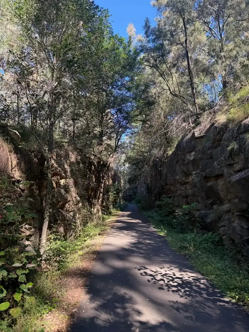
The Lapstone Zig Zag is a short but fascinating heritage rail trail at Glenbrook and Lapstone in the Lower Blue Mountains, following sections of the original railway built to carry trains up the steep eastern escarpment of the Blue Mountains. At around 1.5km, the rail trail is more about history and exploration than big kilometres. The original Knapsack Zig Zag opened to railway traffic in 1867 and was an extraordinary piece of engineering for its time — the first complete zig zag constructed on a main railway line anywhere in the world. It was bypassed after only 27 years when the original Glenbrook Tunnel opened. One of the highlights is the spectacular Knapsack Viaduct, a huge sandstone railway bridge constructed across Knapsack Gully. When construction began in 1863, it was the largest stone viaduct in Australia. The lower section follows a gentle concrete path towards and across the viaduct, while other sections retain more of the original railway character with gravel, ballast and historic cuttings. At the upper end, a newer smooth asphalt shared trail from Knapsack Street follows the old railway formation through impressive rock cuttings, past the remains of Lucasville Station and down towards the upgraded Top Points Lookout. This section is particularly accessible and gives riders a great opportunity to experience the historic railway corridor by bike. The trail sits within Knapsack Reserve, so riders can also connect with the wider network of MTB trails, fire roads and lookouts around Glenbrook and Lapstone for a much bigger ride. For riders searching for Lapstone Zig Zag cycling, Blue Mountains rail trails, Glenbrook bike trails, Knapsack Reserve cycling or historic railway rides near Sydney, this is a brilliant little piece of Lower Blue Mountains cycling history. RTS Tip: Not every trail branching from the historic railway formation is rideable. In particular, the dirt paths descending beneath Knapsack Viaduct towards Elizabeth Lookout are walking-only. Stick to cycling-permitted sections and use current mapping to explore the wider Knapsack network.

1.5 kmGravel

Linden Ridge Firetrail has many indigenous sites along the route for those keen for side adventures From Linden Station, ride out via Glossop Road to the main gate. Follow the asphalt road until you reach the water treatment works, then turn right onto the firetrail. From Woodford Station, take the off-highway cycle route down the north side of the highway from the Appian Way bridge. This leads to Bulls Camp (water and toilets available), then continues down the cycle path into Linden before joining Glossop Road to the gate. The trail out is undulating with a few steeper climbs along the way. The main ride terminates at an open clearing, where you can turn around and climb back out the way you came. Alternative Offshoots & Singletrack Options Water Tank Bypass Singletrack ~1.8 km from gate Look for a short singletrack running off to the right. You will pass an old water tank on this quick bypass before rejoining the main trail. Mt Twiss Singletrack ~3 km from gate On a sharp right-hand bend, veer left onto the roughly 5 km singletrack out to Mt Twiss. Note: While cleared a few years ago, it is generally regarded as overgrown. Deep Pass Trail ~7 km from gate An adventurous offshoot along the original, unmaintained fire road. It is approximately 4 km return. Jennings Track (End of Firetrail) For the adventurous, there is a difficult hike-a-bike trail at the very end of the trail that connects through to Grose Road in Faulconbridge. Closest public toilets and water is at Bulls Camp in linden

17 kmGravel

Experience one of the Blue Mountains most iconic mountain bike rides, combining the historic Lockyers Road Walking Track with the challenging climb of Lawsons Long Alley. These trails are sanctioned for Mountain Bike riding but please always give way to walkers. Lockyers Road Walking Track is one of the oldest and most significant tracks in the Blue Mountains. Originally constructed by convict labour in the early 1800s. Evidence of the effort involved in building this route can still be seen throughout the trail, with sections of original stonework and road formation surviving to this day. The ride begins with a 4 km descent down Lockyers Track from Mount York to Hartley Vale. While most of the trail is rideable, some sections are technical and may require less experienced riders to dismount and walk. As a shared-use walking track, riders should always give way to pedestrians and ride with care. At the base of the descent, the route follows Mid Hartley Road before joining the historic Lawsons Long Alley. From here, riders tackle a sustained climb back to the escarpment, gaining over 400 metres of elevation before returning to the starting point. Combining fascinating colonial history, spectacular scenery, flowing singletrack and a demanding climb, the Lockyers & Lawsons Historic Loop is a classic Blue Mountains mountain bike adventure. Route Description Start at the Lawsons Long Alley car park on Mount York. Follow the signs to Lockyers Road Walking Track and descend to Hartley Vale. Turn right onto Mid Hartley Road and continue past the Hartley Vale Hotel. Follow the road to the signed entrance for Lawsons Long Alley. Continue along the road until the private entry only gate and enter the signed singletrack, climb Lawsons Long Alley back towards Mount York. The ride returns you back to the Lawsons Long Alley car park, completing the 14 km loop.

14 kmMTB

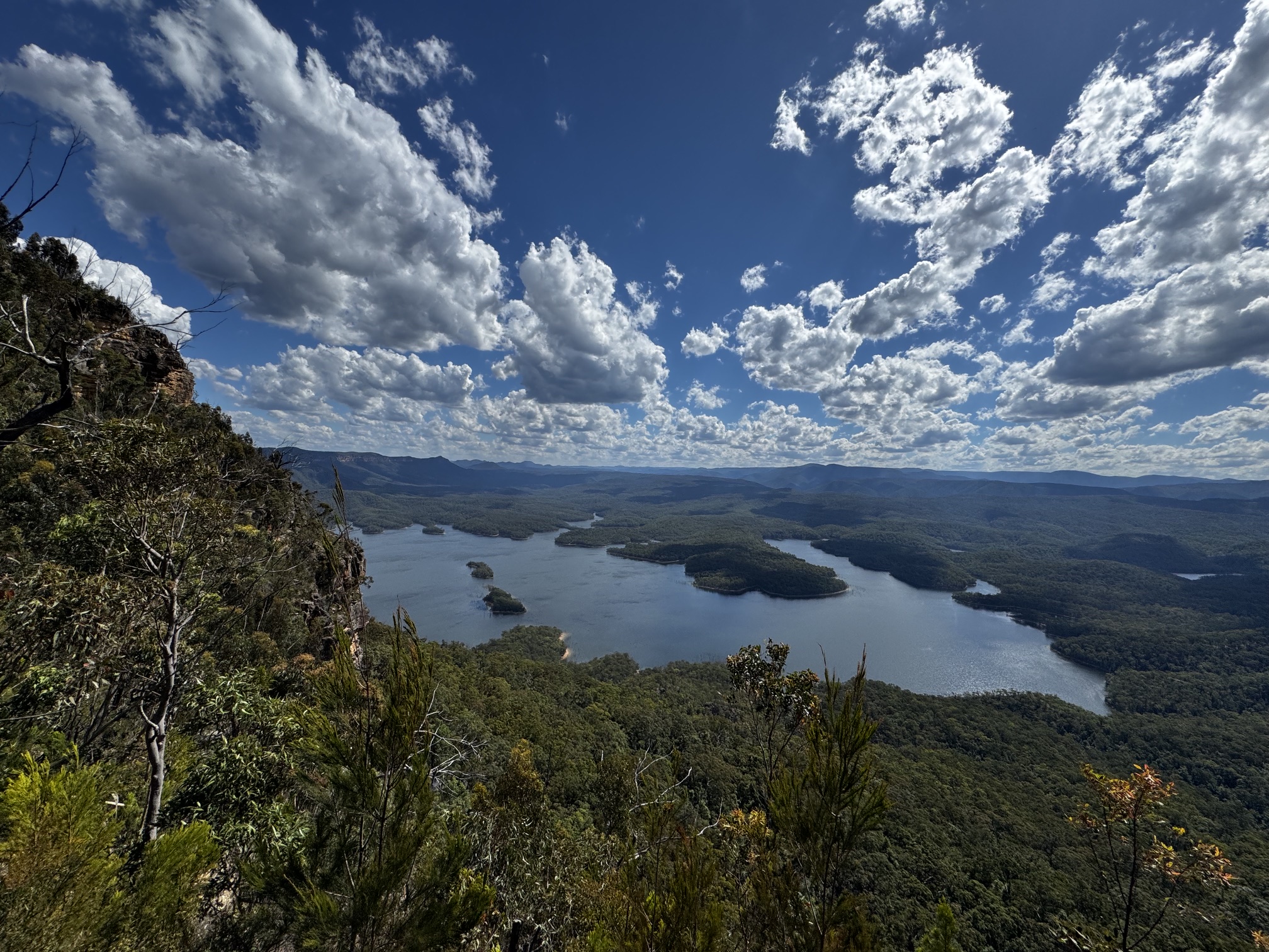
McMahons Point is a spectacular out-and-back fire trail in the Blue Mountains, suitable for both mountain and gravel bikes. The best starting point is near the old Queen Victoria Hospital site on Tablelands Road, with the route heading deep into the surrounding bushland towards Lake Burragorang. Expect rolling fire road, long descents and some solid climbing, with panoramic views across Lake Burragorang, the Warragamba Dam catchment and surrounding wilderness. From the lower car park, riders can explore two main lookouts — an easy walk of around 200 metres or a more challenging singletrack option of approximately 800 metres each way. The area also provides views towards the culturally significant Battleship Tops, adding another dimension to this rewarding Blue Mountains adventure. RTS Tip: Save something in the legs for the return — those long descents on the way in become solid climbs on the way back. This is a remote ride with limited facilities, so carry plenty of water, food and spares, download your route before leaving and check current National Parks alerts and fire-trail access.

40 km769 mMTB

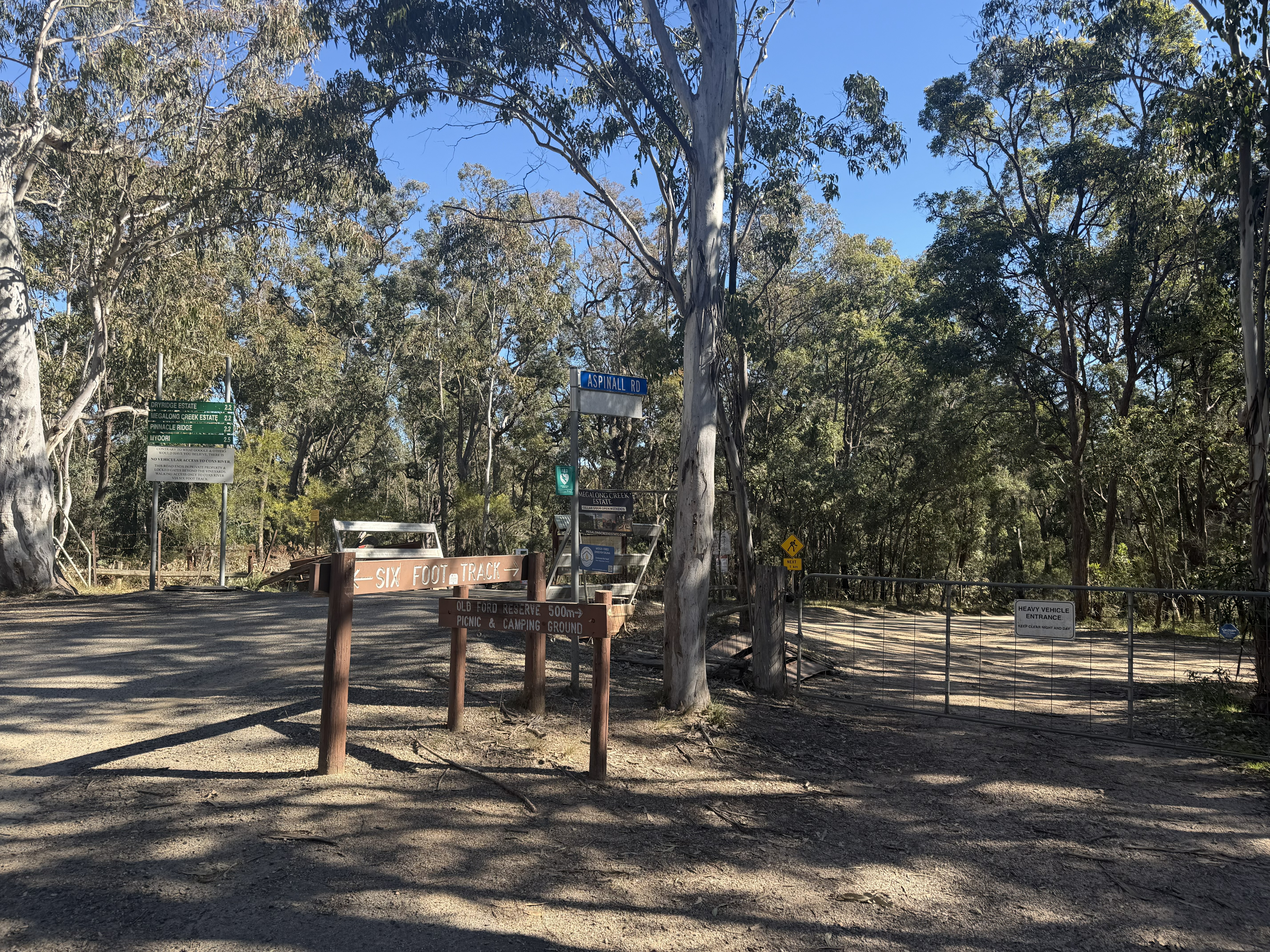
Megalong Valley is one of the Blue Mountains classic epics. Starting from Blackheath Railway Station, it’s an out and back ride of roughly 33 km on sealed road with 600+ metres of climbing. The descent into the valley is sweeping and scenic, the climb back out is a proper challenge. Escarpment views as you ride through the valley, with towering sandstone cliffs looking back toward Meadlow Bath and beyond. Coachwood forest sections offering cool, shaded riding on the climb out. Highlights Old Ford Reserve, a popular riverside campground on the Cox's river. Six Foot Track crossing, where the historic walking trail intersects Megalong Road. There are Cafés & Winery options In Megalong Valley and in Blackheath excellent pre and post ride food options within a short roll of the station. Extensions If you’re happy to leave the tarmac: Dumphreys Campground — Quiet gravel extension deeper into the valley. Foggy Knob — A short, steep gravel climb with big views at the top. Additional backroad loops are possible on gravel or MTB, linking fire trails and rural lanes. Road Bike Considerations On a road bike, there’s no safe or practical way to avoid the Great Western Highway when approaching Blackheath. The simplest and safest plan is to start and finish at Blackheath Station, rolling straight down Megalong Road from there. On a gravel or mountain bike you can ride shared paths and back roads from Katoomba to Blackheath

33 kmRoad

Mount Hay is one of the Blue Mountains most spectacular ridge top rides, combining sweeping valley views, unique heathland and dramatic cliff lines. The ride follows Mount Hay Road, a long gravel route that gradually traverses the plateau through the world heritage National Park. The ride is easily accessible from Leura Railway Station, with a short connection via local roads to the start of Mount Hay Road. From the roundabout, it is approximately 15 km to the Mount Hay car park, making for a 30 km return ride. The first few kilometres are sealed before transitioning to a gravel surface. From the Mount Hay car park, a walking track leads to the summit of Mount Hay. While bikes are not permitted on this section, the short walk is well worth the effort. From the summit, views extend across the vast Grose Valley, surrounding sandstone escarpments and the western plains beyond Sydney. Mount Hay Road is shared with vehicle traffic, so riders should take care, particularly on corners and during busy periods. The road may also be closed from time to time for maintenance, so it is worth checking with National Parks before setting out. For those looking to explore beyond the ride itself, several outstanding walking tracks branch from the Mount Hay area. The walk to Lockleys Pylon is highly recommended and rewards visitors with one of the finest panoramic lookouts in the Blue Mountains, overlooking the Grose Valley and surrounding wilderness. Butterbox Point is another worthwhile side trip, offering dramatic cliff top views and a different perspective across the valley. Both walks are pedestrian only, so bikes should be left and secured before continuing on foot.

30 kmGravel

Mount Banks, Banks Wall Lookout Ride is a scenic 12 km return gravel and mountain bike ride that follows a gentle fire trail along the edge of the Grose Wilderness. Starting at the Mount Banks car park off Bells Line of Road, the route winds through heathland and open eucalypt forest beneath the distinctive basalt-capped summit of Mount Banks. Frequent gaps in the bush reveal sweeping views across the Grose Valley, while sandstone cliffs and rocky outcrops provide a dramatic backdrop throughout the ride. The easy gradients make for relaxed riding, allowing plenty of time to enjoy the scenery before reaching Banks Wall Lookout, where expansive views stretch across one of the most spectacular wilderness areas in the Blue Mountains. The return journey follows the same route back to the car park. No public transport nearby. There are toilets at the Carpark.

12 kmGravel

Nestled within the Blue Mountains National Park, Murphy's Glen is a scenic gravel ride that takes riders through towering forests of Blue Gum and Turpentine trees. Starting from Woodford Railway Station, this out and back route follows a management trail into the secluded forested valley, making it ideal for gravel bikes, mountain bikes and families looking for a shorter adventure. The ride begins with a gentle ride along Bedford Road. Not long after the sealed road ends, riders will reach Linda Rock, a popular lookout offering sweeping views across the surrounding bushland towards Wentworth Falls. From here, Bedford Road becomes Murphy's Road, a wide gravel trail that winds through native bush as it descends towards Murphy's Glen. At the end of the road lies Murphy's Glen Campground, a tranquil picnic and camping area surrounded by a magnificent stand of towering Blue Gums and Turpentine trees. The cool, sheltered forest creates a striking contrast to the exposed ridgelines above and is an ideal place to relax before the return journey. For those seeking a little extra adventure, a hidden short walk off Murphy's road is the second tallest known tree in New South Wales, a forest giant hidden within a few minutes from the main road. While the ride to the campground is mostly downhill or gently descending, riders should save some energy for the return trip. The climb back towards Woodford includes a steep gravel ascent that can test the legs. For a longer adventure, Murphy's Glen can also be used as a gateway to the extensive Blue Mountains trail network, with connections through the Ingar Road and Andersons Fire Trail towards Wentworth Falls. Route Description Start at Woodford Railway Station. Follow Bedford Road south from the station. Continue past Linda Rock Lookout, where the sealed road transitions to gravel. Follow Murphy's Road as it descends through the forest. Continue to Murphy's Glen Campground at the end of the road. Return the same way via Murphy's Road and Bedford Road to Woodford Railway Station. There are pit toilets at Murphy's Campground. No water

12 kmGravel

Narrow Neck Fire Trail – Blue Mountains MTB Ride The Narrow Neck Fire Trail is one of the Blue Mountains' classic mountain bike adventures, following a spectacular elevated plateau from near Katoomba deep into Blue Mountains National Park. The official route is approximately 19km return, travelling from the locked gate on Narrow Neck to Clear Hill and back. Don't let the relatively short distance fool you — the undulating terrain includes some steep climbs and descents, making this a solid ride despite its manageable length. The scenery is the real hero. Narrow Neck forms a long peninsula between the Jamison and Megalong Valleys, giving riders incredible views from both sides as the fire trail passes through open forest, heath and swamp landscapes. Further along, the terrain opens up with expansive views towards Lake Burragorang and the surrounding Greater Blue Mountains World Heritage Area. Under the tyres, expect a proper Blue Mountains fire trail experience with a mixture of rocky, gravel, sandy and clay surfaces, along with water bars and changing conditions. It's not technical singletrack, but the steep pinches, loose surfaces and climbing make it best suited to riders with reasonable fitness and some off-road experience. Riders can also turn Narrow Neck into a bigger Katoomba cycling adventure by starting from town. Katoomba Station is around 5km from the trailhead, adding extra distance and making it possible to combine the ride with some of the famous lookouts around Cliff Drive. For anyone looking for mountain biking in the Blue Mountains, Narrow Neck is a brilliant combination of achievable distance, proper backcountry riding and some seriously impressive scenery. RTS Tip: Narrow Neck heads into exposed and relatively remote country, so carry plenty of water, food, repair equipment and navigation. Mobile reception can be unreliable and Blue Mountains weather can change quickly. The trail is also shared with walkers, who have right of way. Check current NSW National Parks alerts and trail conditions before heading out, particularly after heavy rain.

38 kmGravel

Nepean Lookout makes a brilliant destination for a mountain bike or gravel-style ride through the Glenbrook section of Blue Mountains National Park. Sitting above the Nepean River and Fairlight Gorge, the lookout rewards the ride with sweeping views across the deeply cut sandstone landscape and surrounding bushland. You can ride it as a 10km out and back from the top gate but parking is limited, or start it anywhere along the oaks where there is parking, alternative is to go from Euroka campsite, red hands cave parking or for a bigger ride go from the Glenbrook park entrance, riders can follow The Oaks fire trail for around 8km, crossing the Glenbrook Gorge causeway, before turning onto Nepean Lookout Trail for approximately another 4km to reach the lookout. That makes the straightforward out-and-back roughly 24km, with plenty of scope to extend the ride using other authorised trails around Glenbrook. The riding is predominantly unsealed fire trail, so this is more of an adventure/XC ride than technical singletrack. Expect rolling terrain, loose gravel, sandstone surfaces and some solid climbing on the return journey. A mountain bike is the easiest choice, although capable gravel riders should also enjoy the route in suitable conditions. At the end, a short track takes you to the unfenced Nepean Lookout, overlooking the steep, forested gorge with the Nepean River below. The surrounding heath and angophora forest make the destination worthwhile even before you factor in the riding. One of the best things about this ride is how easily it can become part of a bigger Glenbrook adventure. The Glenbrook area also includes authorised riding on The Oaks, Bennetts Ridge and other management trails, so stronger riders can link Nepean Lookout into a much longer loop rather than simply returning the way they came. For riders searching for Nepean Lookout cycling, Glenbrook MTB, Blue Mountains gravel riding, Lower Blue Mountains MTB or mountain bike rides near Penrith, this is a scenic option that’s more about exploration and the destination than technical trail features. RTS Tip: Don’t judge the ride purely by distance. The climb back out of the Glenbrook area can add some sting to the return journey, particularly on a hot day. Carry plenty of water and check NPWS alerts before heading out — the causeway can close following rain and mobile reception is limited in parts of the park.

10 kmGravel

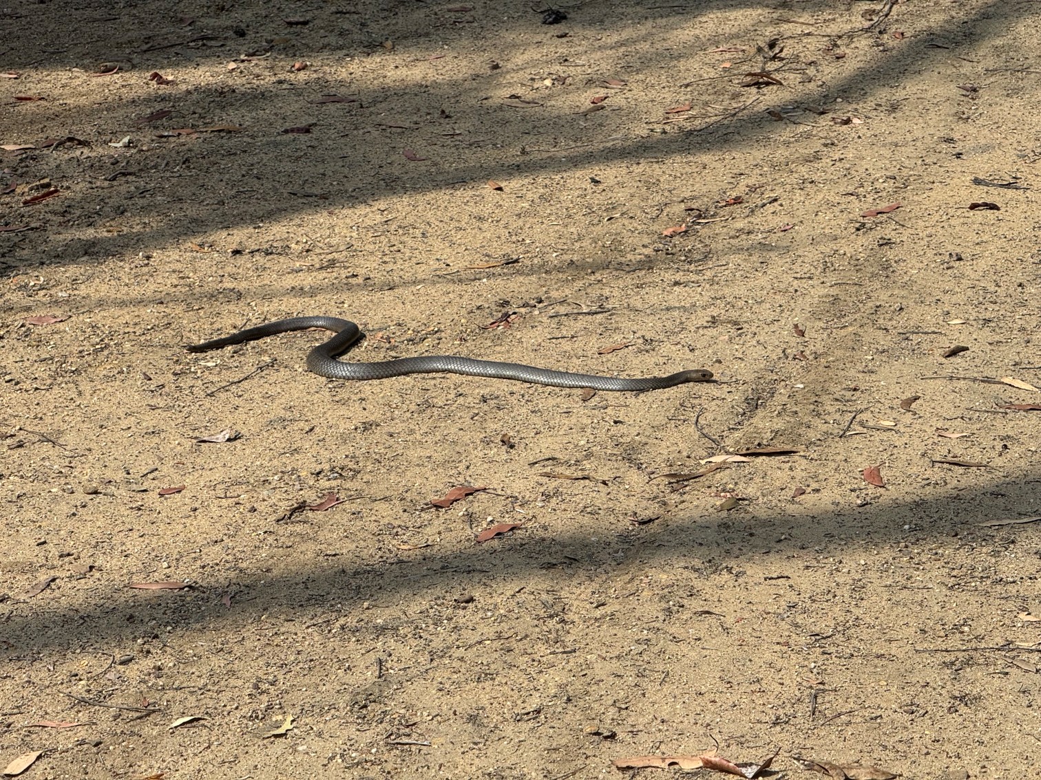
The Nepean River Trail is a powerline maintenance route running along the foot of the Blue Mountains between Emu Plains and Yellomundee Mountain Bike Park. It’s a direct and practical option if you’re arriving by public transport or want to add some extra kilometres before hitting the Yellomundee trail network. Although the trail traces the edge of the Nepean River, it’s far from flat. The route follows the escarpment, rolling across ridgelines and dipping into valleys that meet the river. Expect a steady mix of short, punchy climbs that keep you honest all the way to Yellomundee. From the gate on Riverbank Drive to the gate on Springwood Road is roughly 7 km. Make sure you leave enough in the tank to explore the 10 km of cross‑country and enduro trails waiting at Yellomundee (See tagged ride card). The surface is typical of a firetrail, hardpack, loose gravel, and occasional erosion and is suited to both gravel and mountain bikes. There is no water along the route or the Yellomundee end. Snakes are frequently seen along this trail in the warmer months

7 kmMTB, Gravel

Starting from the National Park gate at the end of Binnowee Drive Lawson, this 18 km return trail has around 440 meters of elevation gain. Following Lawson Ridge Firetrail, riders are treated to a dense tree canopy that provides welcome shade, sandstone formations and erosion caves line the side of the trail. The route features a mix of steady climbing, several steeper pinches, and fast rolling descents that keep the ride engaging from start to finish. Although the entire route follows a firetrail, a worn singletrack line in the leaf and bark litter often develops along the main trail, adding an enjoyable and flowing riding experience. At the turnaround point, riders are rewarded with views towards Mount Hay and the surrounding Blue Mountains landscape. No Facilities or water onsite

18 km440 mGravel

The Pioneer Rail Trail is an easy, family-friendly 6 km railside trail running between Oberon and Hazelgrove in the NSW Central Tablelands. Following the historic Oberon–Tarana railway corridor, the trail winds gently through open farming country and offers a relaxed ride with plenty of railway heritage along the way. The trail is predominantly sealed with a gentle gradient, making it suitable for riders of most abilities, including families, recreational cyclists, touring and hybrid bikes and mountain bikes. Interpretive signage along the route shares the story of the railway and surrounding region, while the old railway infrastructure adds plenty of character to the journey. Starting around the historic Oberon Railway Station, the route passes the railway precinct and museums before heading out through the Central Tablelands countryside towards Hazelgrove. Riders should take care at the uncontrolled road crossings at Albion Street and Lowes Mount Road. At Hazelgrove, restored railway tracks, switches and a passing loop hint at ongoing efforts to bring heritage trains back to the line. At just 6 km each way, it's an approachable ride on its own or an easy addition to a day exploring Oberon. The area also offers plenty to see off the bike, including the Oberon Railway Museum, Mayfield Garden, nearby cellar doors and the wider Blue Mountains region. Distance: 6 km one way Surface: Sealed Difficulty: Easy Best for: Families, recreational riding, touring, hybrid & MTB Start/Finish: Oberon – Hazelgrove, NSW

6 kmGravel

A fun and casual Singletrack loop that can be ridden in either direction then a steep sealed road climb that pays off with a magnificent view is certainly worth the addition to your Glenbrook national park riding trip. Tag it onto The Oaks Singletrack, The Oaks fire trail (Woodford to Glenbrook), Bennetts Ridge Loop (Coathanger), Red Hands Cave or Nepean Lookout. You can start the ride from any of the carparks but the singletrack loop start is what we have pinned to maps

Verified by 1 rider
Gravel, MTB

Rydal MTB Trails are a classic cross-country mountain bike network in Lidsdale State Forest, beside the tiny village of Rydal near Lithgow in the NSW Central Tablelands. The trails start from Rydal Showground and spread north into the surrounding forest, delivering a distinctly old-school mix of natural singletrack, rocky terrain and repurposed 4WD and moto tracks. The network currently has around 22 mapped MTB trails, predominantly green, blue and black-rated cross-country riding. Rather than smooth bike-park flow, expect tight singletrack, rocks, roots, short punchy climbs, natural descents and technical features, with plenty of different trail combinations available. Trails such as Hazzard County add some extra spice, with drops and gap-jump features mixed into the XC terrain. The broader network makes good use of the existing forest tracks, so riders can easily link sections together for anything from a quick lap to a longer session exploring Lidsdale State Forest. Rydal has a particularly strong connection with the Central Tablelands Mountain Bike Club (CTMBC), one of Australia’s long-established MTB clubs, formed in 1984. The club is based around the Lithgow region and regularly hosts racing at Rydal, including its Tuesday night race series. It’s also an established endurance racing venue. Rydal hosted Round 3 of the 2026 NSW Central West XC Mountain Bike Interclub Series, with racing based from Rydal Showground, and has previously hosted major endurance events including the Jetblack 24 Hour. The main trailhead is at Rydal Showground at the top of Market Street. From here, trails head into the forest on either side to the north of the showground, making it a relatively straightforward place to start exploring. For riders searching for Rydal MTB, Lithgow mountain bike trails, Central Tablelands MTB, Lidsdale State Forest cycling or XC mountain biking west of Sydney, Rydal is a great regional network to have on the ride list. RTS Tip: Rydal is best suited to riders who enjoy natural XC rather than manicured bike-park trails. Current mapping is worth having with you because there are plenty of old forest, 4WD and moto tracks intersecting the MTB network. It also pairs brilliantly with the wider Lithgow riding scene if you’re planning a full weekend in the region.

10 kmMTB

The Shaws Ridge / Blue Gum Swamp loop is generally ridden in an anticlockwise direction. It is mostly firetrail in varying condition, and while there are some steep climbs, it is generally achievable by beginner riders. The ride offers a beautiful forest floor atmosphere with towering Blue Gums and flowing creeks. Getting There Access the trail from the gate at the end of White Cross Road, Winmalee, where you’ll find a trailhead sign and parking. The closest railway station is Springwood station a 7km ride Optional Side Trip For those with strong legs, Bees Nest Hill (signposted off the Blue Gum Swamp firetrail) takes you up to the Springwood Ridge firetrail for expansive views over the Grose Valley from the Grose Head South Lookout. Facilities at White Cross Shopping Centre

9 kmMTB

Six Foot Track, Megalong Valley to Coxs River Campground After the initial fire road, this section of the Six Foot Track is a rough, slow adventure ride with plenty of hike a bike. Expect rocky pinches, steps, narrow singletrack, and multiple stiles/fence crossings where you’ll be lifting your bike. You can’t take bikes across the swing bridge, it’s walkers only, so you’ll need to carry your bike through the river instead if crossing. Water levels vary, but it’s usually knee to thigh deep. Once you’re at the Cox's River Campground, the trail becomes gravel road, from here, there are options like Jenolan Caves via Black Range Road or loop back around Jenolan Caves Road and towards Mt Victoria, or return the way you came. Best suited for MTB riders who enjoy rugged, exploratory terrain. You cannot ride bikes on the Six Foot Track from Katoomba down to Nellies Glen section. Toilets at Old Ford. Cafe in Megalong Valley or plenty of options in Blackheath.

7 kmMTB

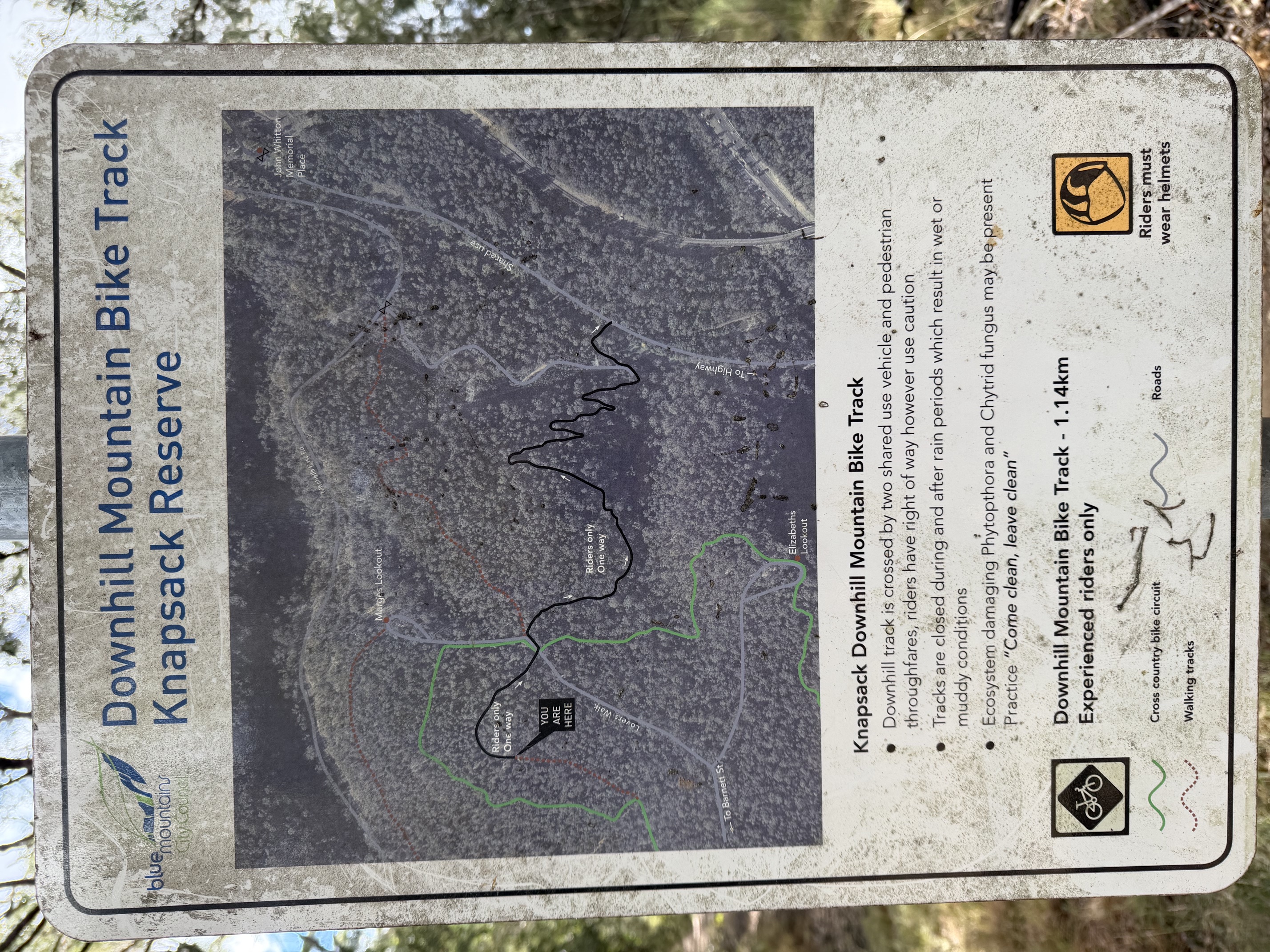
Stringline is one of the gravity-focused trails within Knapsack Reserve at Glenbrook in the lower Blue Mountains, offering a short but action-packed descent for riders looking for something more technical. Expect steep sections, rocky and loose terrain, technical lines and features that reward confident bike handling. It’s a trail designed to be sessioned, with plenty packed into the descent and easy access to the wider Knapsack trail network for riders wanting to build it into a bigger day. RTS Tip: Take your first run slowly and inspect unfamiliar features before committing — Stringline can be loose, rocky and unforgiving when ridden at speed. It’s best suited to confident riders with appropriate equipment, and conditions can change quickly after rain or trail maintenance. Water is available at Knapsack Football oval.

1.1 kmMTB

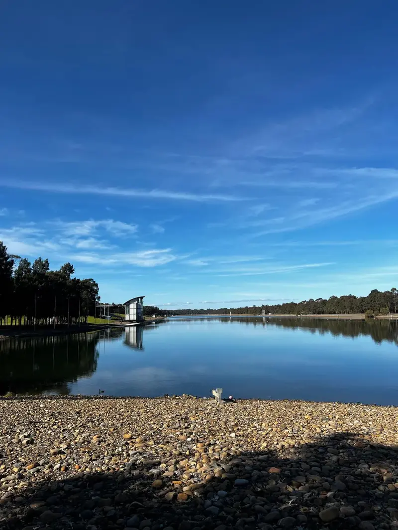
The Sydney International Regatta Centre (SIRC) at Penrith isn’t just for rowing — it also offers a fantastic 5km sealed cycling circuit around the competition lake, providing an easy, scenic and largely traffic-free place to ride in Western Sydney. Originally purpose-built for the Sydney 2000 Olympic and Paralympic Games, the centre covers around 178 hectares at Penrith Lakes, with views towards the Lower Blue Mountains. The cycling path loops around the 2.3km competition lake and surrounding parkland, making it a particularly good option for families, beginners, recreational riders and anyone looking for an easy fitness ride. The smooth, relatively flat circuit means riders can simply complete as many laps as they like — one lap for an easy 5km spin, two for 10km or keep circulating for a longer training session. The venue specifically permits cycling on its lakeside paths, although speed limits apply and the paths are shared with walkers and runners. There’s plenty of space to make a family outing of it too, with picnic areas, BBQ facilities, toilets and extensive parkland around the venue. The Olympic rowing infrastructure and backdrop of the Blue Mountains also make it a pretty unique place for a casual ride. For riders searching for Penrith bike paths, family cycling in Western Sydney, Sydney International Regatta Centre cycling, Penrith Lakes cycling or traffic-free bike rides near Penrith, SIRC is an easy local option to have on the ride list. RTS Tip: The Regatta Centre is still a major working sporting and event venue, so public access can change on event days. Check the current opening hours and event schedule before heading over. On regular non-event days, the 5km loop is a brilliant option for newer riders, kids or anyone wanting to knock out some easy laps without dealing with road traffic

Verified by 1 rider
5 kmRoad, Family

Terrace Falls Fire Trail through to Valley Road is a tranquil ride with several short offshoots to explore. The main gravel section is only around 3 km, but the surrounding network adds plenty of variety. Along the way you’ll pass a creek crossing and the link up to Baths Road Fire Trail, as well as two down hill orientated trails leading toward Adams Lookout from Lake Road. Adams Lookout is best accessed from Valley Road on the climb out of the valley, offering a more direct and flat approach. All Facilities in Hazelbrook town center

3 kmMTB, Gravel

The Woodford to Glenbrook ride is one of the Blue Mountains' must-do adventures, offering something for almost every level of rider. Simply catch the train to Woodford Station and roll onto the trail from there. Don't be fooled into thinking it's all downhill though! There are a few solid climbs early on, including the ascent to the helipad, but they're well worth the effort. The panoramic views are spectacular, and once you've reached the top you'll be rewarded with kilometres of fun descending all the way towards Glenbrook. Be prepared before you leave. There is a water tap at the top gate, but after that there are no facilities until the Glenbrook National Park entrance. Carry plenty of water, snacks, basic spares and sunscreen, as the first half of the ride offers very little shade. When you reach the gate, you can choose to continue on the classic Oaks Fire Trail (now sealed) or take the 7km Oaks Singletrack alternative (see the Oaks Singletrack ride card for details). From there you continue all the way into Glenbrook via the sealed road, the gorge crossing is usually shallow enough to keep dry if you roll through at the correct speed! — just remember to save a little energy for the final climb out of the gorge. If you're looking to extend your day, the surrounding National Park offers plenty of fantastic add-on rides, including Nepean Lookout (10km return - turn right before the singletrack), Red Hands Cave (10km return - turn left a few hundreds meters after the gate), Bennetts Ridge, Portal Loop, Portal Lookout and, for those still chasing more kilometres and Singletrack, Knapsack Reserve on the Glenbrook side of town. Strong riders can comfortably complete the ride in around 1 to 1.5 hours, while beginners, families and riders wanting to stop for the views should allow 3 to 4 hours to fully enjoy the experience.

27 km442 mGravel, MTB

The Oaks Singletrack is a dedicated mountain bike trail in the Glenbrook section of Blue Mountains National Park, providing a fun, technical alternative to staying on The Oaks Fire Trail as riders descend towards Glenbrook. The trail packs plenty into a relatively short distance, with flowing singletrack, sandstone rock features, tight corners, rollers, small drops and technical sections. It has a distinctly old-school Blue Mountains feel, using the natural rocky terrain to create a playful descent rather than the smoother, heavily machine-built style found at modern bike parks. The trail is predominantly intermediate riding, although individual features can provide additional challenge. Riders should be comfortable on uneven surfaces, exposed sandstone and rocky trail before carrying too much speed. While commonly ridden as part of the longer Woodford-to-Glenbrook Oaks ride, or adding on from Bennetts ridge loop, The Oaks Singletrack is a worthwhile trail in its own right and can be accessed as part of shorter MTB sessions within the Glenbrook area. One of its biggest appeals is simply how much fun it adds to a ride. After kilometres of wider fire trail, dropping into narrow singletrack immediately changes the experience, with plenty of corners and features to keep riders engaged all the way through. For riders searching for The Oaks Singletrack, Glenbrook MTB, Blue Mountains singletrack or technical mountain bike trails near Sydney, this is one of the Lower Blue Mountains’ best-known sanctioned MTB trails. RTS Tip: This Ride Card covers The Oaks Singletrack only, not the wider Oaks Fire Trail or Woodford-to-Glenbrook ride. It’s a relatively short trail, so think quality rather than kilometres — a brilliant section to add into a bigger Glenbrook MTB session. Check current NPWS alerts and trail conditions before riding, particularly after heavy rain.

14.6 km193 mMTB

Valley Heights Fire Trail is a short, quiet stretch of pretty, shaded bushland with a hidden waterhole along the way that’s perfect for a refreshing dip on hot days. The trail can be accessed from gates on either Greens Parade or Banksia Drive, depending on the direction you choose to ride. It sits close to Valley Heights Railway Station, making it easy to reach by public transport, and it’s only a short roll from all the shops and facilities available in Springwood. A simple, scenic local loop that’s ideal for a quick spin or a relaxed warm‑up. Everything available in Springwood

4 kmMTB

This is one of the classic Blue Mountains gravel adventures, combining country roads, steep mountain climbs, remote fire trails and several options to tailor the distance and difficulty. Expect a mix of gravel roads, sealed mountain roads and rugged fire trails with excellent views and creek crossings. Distance: 55-80 km depending on route choice Elevation: 1,200-1,800 m approximately Suitable for: Gravel bikes, mountain bikes Start/Finish: Comleroy Road when the road turns to dirt. You can start at any point on this ride to suit your own needs. Route Description: Starting where the sealed road turns gravel on Comleroy Road, descend through bushland towards the historic crossing at Wheeny Creek campground. After crossing the creek, the route begins a major climb up towards Mountain Lagoon Road, after turning left you will steadily climbs up to Mountain Lagoon. Continue along Mountain Lagoon Road until reaching the Bells Line of Road. This is a great opportunity to stop at the local bakery or shops in Bilpin to top up water and food before entering the more remote sections of the ride. From Bells Line of Road, carefully ride west before turning right onto Patersons Range Fire Trail. The trail traverses beautiful bushland with some spectacular views across the Grose Valley A popular side trip is the short out and back ride into Burralow Creek Campground, where tall forest surrounds the creek and picnic area. Option 1: Burralow Road Loop - From Burralow Creek, climb out via Burralow Road, then continue onto Walkers Hill Road before returning to Bells Line of Road. Follow Bells Line east and continue along Comleroy Road to complete the loop. - Best for: Riders wanting a shorter day with less technical riding and easier navigation. - Approximate distance: 55-65 km Option 2: Burralow to Bowen Mountain Extension - For a more adventurous ride, continue south along Burralow Fire Trail. The trail descends through remote bushland towards Bowen Mountain, eventually emerging onto Bowen Mountain Road. - From here, ride through to Grose Vale Road and continue into Kurrajong, where you'll find cafés, bakeries, supermarkets, toilets and water. After resupplying, follow Comleroy Road back to the start to complete a much larger loop. - Best for: Experienced gravel and mountain bike riders looking for a big day in the saddle. - Approximate distance: 70-80 km Things to Know: - Carry plenty of water, especially in warmer months. - Mobile reception is very limited. - Check that the shops in Bilpin are open. - Traffic on Bells Line of Road can be busy. - Check National Parks alerts before riding Burralow and Patersons Range trails. Facilities at Bilpin and Kurrajong

55 km1200 mGravel

Wolgan Valley Rail Trail – Newnes & Newnes Plateau The Wolgan Valley Rail Trail follows the remarkable route of the former Newnes railway, which once descended from the Newnes Plateau into the spectacular Wolgan Valley. The railway was built to service the shale-oil industry at Newnes and operated from 1907 until 1932, negotiating sandstone cliffs, deep cuttings and two tunnels on its roughly 50km journey. For cyclists, Rail Trails Australia currently identifies around 11km of the route towards Newnes as the main rail-trail riding section, with a mixture of coarse gravel, compacted earth and fine gravel. A mountain bike is the best choice, as this is much more of a rugged adventure ride than a smooth, groomed rail trail. The scenery is the real highlight. The old formation hugs the escarpment above the Wolgan Valley, with huge sandstone cliffs, forest and expansive valley views. Remnants of the railway can still be spotted along the way, although several former bridge sites have washed away and require steep detours around the old alignment. The railway’s most famous feature is the Glow Worm Tunnel walking track, a 387m former railway tunnel now home to thousands of glow worms. However, there’s an important distinction for riders: bicycles are not permitted on the 1.3km walking trail from the Glow Worm Tunnel car park through the tunnel, so bikes need to be left behind if you want to visit it. The approach along Glow Worm Tunnel Road also follows much of the former railway formation and can be cycled, but it remains an active gravel road used by 4WDs and trail bikes. This means riders can create a much bigger Newnes Plateau adventure, but shouldn't expect the entire historic 50km railway alignment to operate as a continuous dedicated cycle trail. For riders searching for Wolgan Valley cycling, Newnes mountain biking, Blue Mountains rail trails, gravel riding near Lithgow or Newnes Plateau bike rides, this is a fascinating combination of railway history, remote adventure riding and spectacular scenery. RTS Tip: This one needs a little planning. The 11km rail-trail section can be rough, with washed-out bridges, steep bypasses, fallen trees and rockfall possible, and Rail Trails Australia notes that parts may be slow enough that walking can be easier than riding. Take a MTB, carry plenty of water and repair gear, and use current mapping rather than assuming the historic railway formation is continuously rideable. If visiting the Glow Worm Tunnel, remember that the final section and tunnel itself are walking only

11 kmGravel

The Woodford Dam Loop is a scenic mountain bike ride along fire trails in the beautiful Blue Mountains National Park. Expect a mix of steep climbs and fast descents, all rewarded with spectacular views over the Woodford Dam catchment area. The ride is generally done in a clockwise direction from the end of Winbourne Road and finishing at the end of Clearview Parade. Easily accessed from Hazelbrook Train station to make it a 10k ride. Toilets and Water available at Hazelbrook shops

Verified by 1 rider
7 kmMTB

Yellomundee MTB Park, is one of Western Sydney’s most established mountain biking destinations. Located at Hawkesbury Heights, around 8km north-west of Penrith, the park sits on the eastern escarpment of the Blue Mountains and offers a network of natural cross-country and gravity trails through classic sandstone bushland. The riding has a distinctly old-school, natural character. Expect rocky and rooty singletrack, sandstone features, loose surfaces, creek crossings, short punchy climbs and technical descents rather than smooth machine-built bike-park trails. NPWS specifically highlights the area south of Shaws Farm for its singletrack and trails catering to varying technical abilities. Yellomundee is particularly well known for cross-country riding and racing. The trail network allows riders to combine different sections into anything from a shorter social ride to longer XC laps, with the terrain providing plenty of climbing and descending along the way. Western Sydney Mountain Bike Club’s full XC race course averages around 6km per lap, with shorter modified courses used for junior racing. There’s also plenty here for riders who prefer the bike pointing downhill. Club events use the existing trail network for gravity racing, with timed stages focused on the more technical descending trails, making Yellomundee a great all-round venue rather than purely an XC network. A huge part of Yellomundee’s MTB history is its connection with Western Sydney Mountain Bike Club. The club maintains the MTB trails through regular volunteer trail-work days and uses the park for XC, gravity, social riding and racing, helping keep Yellomundee an important hub for Western Sydney’s mountain biking community. The main MTB access is from the Springwood Road/Hawkesbury Road area at Hawkesbury Heights, with parking at the trailhead. The wider Yellomundee Regional Park also includes lookouts, picnic areas and other recreational trails, with impressive views across the Nepean River and Western Sydney. For riders searching for Yellomundee MTB, Yello MTB, Western Sydney mountain bike trails, Penrith MTB or Blue Mountains cross-country riding, this is one of the region’s essential networks. RTS Tip: Yellomundee rewards riders who enjoy natural, technical MTB rather than manicured bike-park flow. The network has lots of intersections, so current mapping is useful for first-time visitors. Also check NPWS alerts before heading out — there is currently an alert affecting Yellomundee Regional Park, and access or individual areas can change due to hazard reduction, weather or maintenance.

Verified by 1 rider
10 kmMTB

Keep exploring